


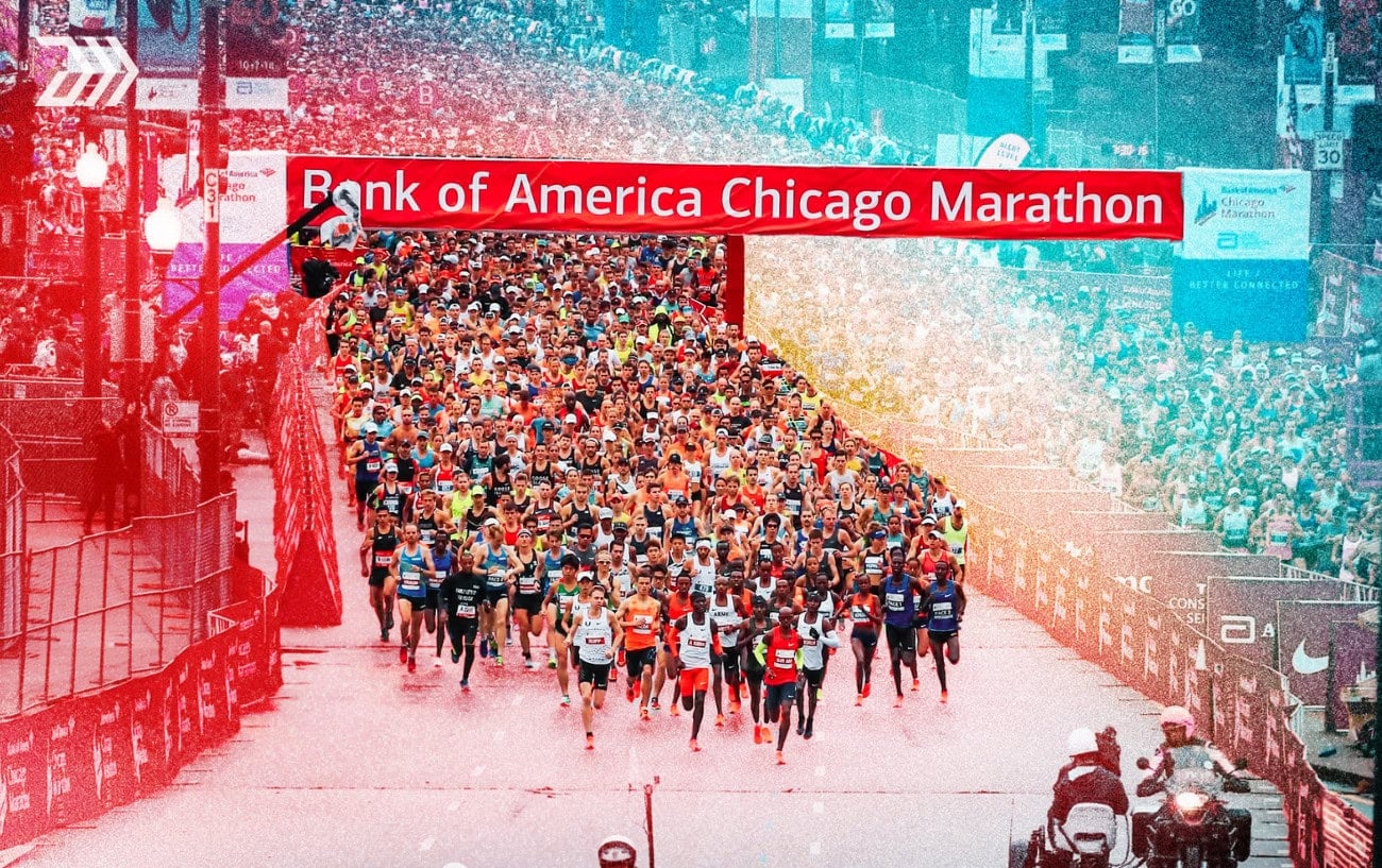
More than 55,000 runners leave Grant Park on Sunday, Oct. 11, on one of the fastest marathon courses in the world. Chicago’s roads have produced seven world records, the latest of them Kelvin Kiptum’s 2:00:35 in 2023, and there is nothing on the course you could honestly call a hill until the final half-mile.
The route is a single 26.2-mile loop through 29 neighborhoods. It runs north along the lakefront to Lakeview, comes back through the Loop around halfway, swings west and then south as far as Bronzeville, and finishes with a long, straight run up Michigan Avenue, crossing the Chicago River six times along the way. Start times, the weather and the elite fields are all in our complete guide to the 2026 race.
Start to Mile 3: Grant Park, the River and the Loop
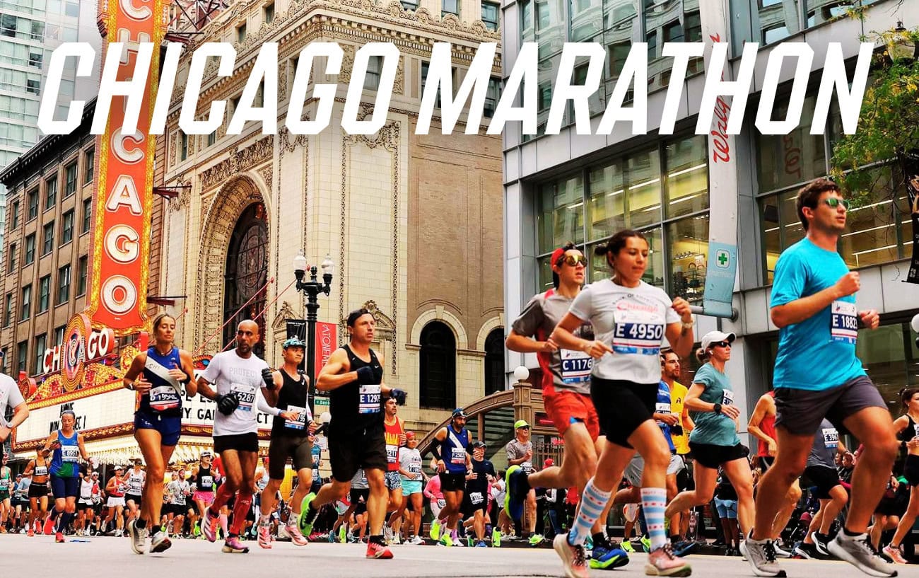
The gun goes at Columbus Drive and Monroe Street, and the field heads north, over the river on Columbus Drive and then west on Grand Avenue across the Magnificent Mile. At Dearborn Street the course turns south, crosses the river again and drops back into the Loop, and a short jog west on Jackson Boulevard brings it to LaSalle Street, which takes it back over the water for the third time a little before 3 miles.
The towers along Dearborn and LaSalle, and the covered stretches of road early on, make this the worst part of the day for anyone relying on a GPS watch, and the signal can be thrown off badly enough to wreck an early pace plan. Believe in the Run’s course guide recommends turning auto-lap off and pressing the button at each mile marker instead. There is also a race clock at every 5K, which is worth trusting over the wrist for the first half hour.
Miles 3 to 8: LaSalle Street, Lincoln Park and the Lakefront
LaSalle runs north out of downtown through River North and Old Town for about two miles before the course bends into Lincoln Park on Stockton Drive, right past the zoo. The Shamrock Shuffle cheer zone is in the park at the 8K mark, a shade under 5 miles, and the first of four Culligan water refill stations, new this year, comes at mile 5.7, just ahead of Aid Station 4. The refill points are only for runners carrying their own approved bottles. Water and lemon-lime Gatorade are at all 20 aid stations, which are spaced one to two miles apart, and each of them has a medical tent and portable toilets.
From Fullerton Drive the route follows Cannon Drive and Sheridan Road up the edge of the park, then Inner Lake Shore Drive from Belmont Avenue to the northern tip of the course, close to 8 miles in. With parkland and the lake to the east, it is the greenest and most open part of the race.
Miles 8 to 13: Lakeview, Northalsted and Back Downtown
Runners turn at the top and come south on Broadway, a few blocks from Wrigley Field, into Northalsted, where the neighborhood’s block party, drag queens and all, lines the course between miles 7 and 9, NBC Chicago reports. Broadway hands over to Clark Street at Diversey Parkway, and the course works its way back through Lincoln Park on Clark, Webster Avenue and Sedgwick Street to North Avenue, at about 11 miles.
Wells Street then carries the race south through Old Town and over the river for the fourth time. The first of two Maurten gel stations is at mile 12.4, at Aid Station 9, with caffeinated and non-caffeinated gels holding 25 g of carbohydrate each. Wacker Drive follows, past the Bank of America Tower and its cheer zone at mile 13, with the halfway mat just a tenth of a mile further on. The towers are back on Wells and Wacker, and so is the watch trouble, so the official halfway split is a far better guide to how the first 13.1 miles went than whatever the GPS says.
Miles 13 to 18: West Loop, Greektown and the Turn at Damen
Adams Street takes the race west over the South Branch, the fifth river crossing, and runs dead straight through the West Loop and Greektown out to Damen Avenue, the westernmost point of the course. The race’s Charity Block Party sits on the way, at Adams and Loomis Streets at mile 15, and there is an extra medical tent between miles 14 and 15, on top of the ones at every aid station.
The third refill station is at 15.7 miles, close to the turn at Damen, where the route drops one block south and turns back east along Jackson Boulevard, heading back toward the city for a mile and a half before it turns south on Halsted Street at about 17 miles.
Miles 18 to 21: Little Italy, Pilsen and Where the Race Breaks
Halsted leads to Taylor Street, and the course runs west along Taylor through Little Italy before Loomis Street takes it south into Pilsen. The second Maurten station is at mile 18.1, at Aid Station 14. Mariachi bands play around mile 19, and the route then heads back east on 18th Street to Halsted, 21st Street and Canalport Avenue.
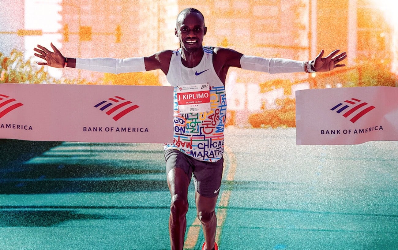
Kiptum passed 30K, about 18.6 miles in, alongside Daniel Mateiko in 1:26:31 in 2023, then left him and ran the next 5K in 13:51 on the way to his world record, World Athletics reported. We broke down every split of that run at the time. Jacob Kiplimo made his move in almost the same place last October, dropping defending champion John Korir at around 18 miles on the way to winning in 2:02:23. He is back to defend his title on Sunday.
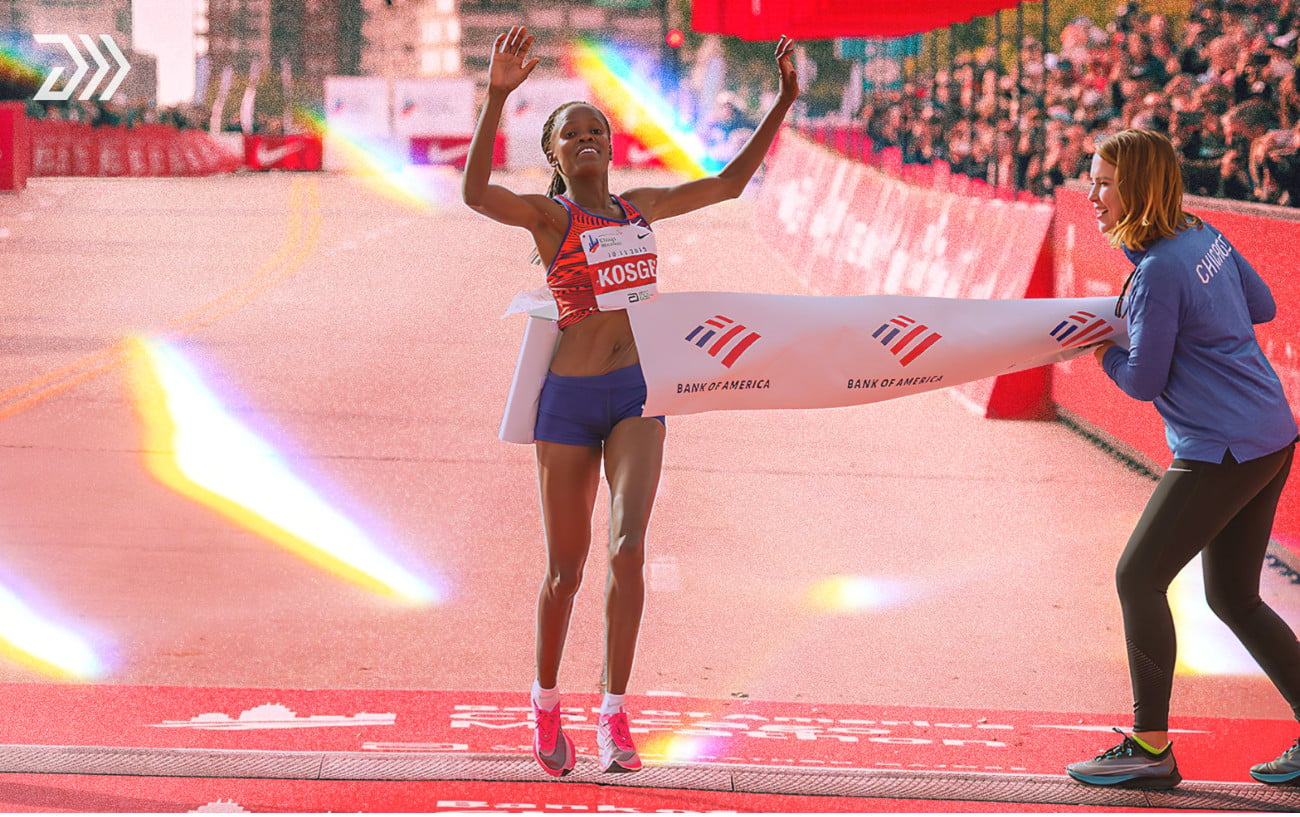
Hawi Feysa waited a little longer in the women’s race last year. She went clear of Magdalena Shauri just after 30K and ran the second half faster than the first to take the title, and she is back this year as well.
We will be following the leaders through this stretch on Sunday in our 2026 Chicago Marathon live blog, with splits, updates and results as the race unfolds.
Miles 21 to 23: Chinatown and Bronzeville
The sixth and final river crossing comes on Cermak Road as the course heads east into Chinatown, where lion dancers perform around mile 21. The Biofreeze cooling zone is at mile 21.2, at Cermak Road and Archer Avenue. Chiquita bananas are handed out at Aid Stations 16 through 18, between 20.2 and 23 miles, and the last refill station is at 20.3 miles.
From Chinatown the course runs south on Wentworth Avenue, east on 26th Street to Michigan Avenue and south again to 35th Street, the bottom of the loop, a little after 23 miles. A short turn along 35th Street and north up Indiana Avenue to 31st Street puts runners back on Michigan, pointed at the finish.
Timing mats sit at every mile from 20 to 25 and again at 25.2, on top of the usual 5K splits. Anyone following a runner on the official app gets updates far more often over these closing miles than they did in the first 20.
Miles 23 to 26.2: Michigan Avenue and Mount Roosevelt
From 31st Street it is just under two and a half miles due north on Michigan Avenue, through Bronzeville and the South Loop, with the skyline ahead the whole way. The Bank of America cheer zone at Michigan Avenue and Roosevelt Road marks mile 26, and it is the best place to see a runner near the finish, since spectators cannot get into the finish area itself. Our spectator guide has the rest of the options.
Kiplimo’s run at the world record came apart on these roads last year. At 22 miles he had 1:41:05 on the clock, still inside world record pace, LetsRun reported, before the miles slowed to 4:46, 4:50, 4:55, 5:05 and 5:20 over the last five, and he finished 1:48 outside Kiptum’s mark.
Just past the mile 26 marker, runners turn right onto Roosevelt Road and up the one real climb on the course, the short rise the organizers call “Mount Roosevelt,” one of the highest points on the course by their own description. It is only a few hundred meters long, but it comes after 26 miles of flat road. At the top, a left turn onto Columbus Drive leaves only the run-in to the line in Grant Park. There is one more medical tent in this final mile.
Fuel, Water and Medical Stops
- Aid stations: 20, one to two miles apart, each with water, lemon-lime Gatorade Endurance Formula, a medical tent and portable toilets
- Maurten gels: mile 12.4 (Aid Station 9) and mile 18.1 (Aid Station 14)
- Culligan water refill stations: miles 5.7, 10.1, 15.7 and 20.3, for approved self-carried bottles
- Chiquita bananas: Aid Stations 16 through 18, miles 20.2 to 23
- Biofreeze cooling zone: mile 21.2, Cermak Road and Archer Avenue
- Extra medical tents: between miles 14 and 15, and in the final mile
- Time limit: 6 hours 30 minutes, which works out to 15:00 per mile; runners behind that pace may be moved onto the sidewalks as streets reopen
RunClub
Get more running stories — join RunClub
Daily running news, a community of 300,000+ runners, free training plans for every distance, and a daily running game. Free to join — no card.
Already a member? Log in →


Start the conversation